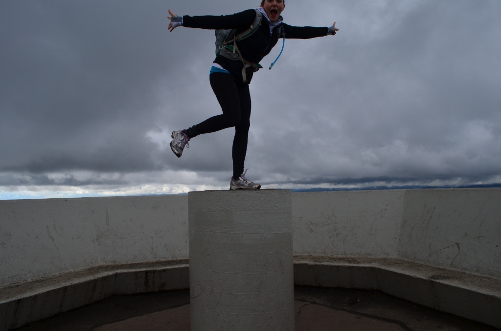
Playing around at the top of Mount Doug – need to work on that self-timer!
Highlights: Sweeping 360 degree view of Victoria city and surroundings. My favorite place for a view so far.
Difficulty and Distance: Moderate at most – it is uphill, but distances are short, and you can walk (or drive) on a paved road (1.5km, one way) to the summit (at 228m). Trail Map …
Directions: Click for a Google Map of the park. There are 3 places to park:
- Along Cedar Hill Rd as you approach Shelbourne
- At the base of Churchill Drive at Cedar Hill Rd (or at the top, if you wish to drive up)
- As Cedar Hill Rd turns into Cordova Bay Rd, there is a turn off for a parking lot – this is the only location with washrooms – also easy beach access and playground

My Experience:
I parked my bicycle at the base of Chuchill Drive and walked up the paved road in search of a trail. I walked until I saw the turnoff for Irvine Trail on my left….. I found out afterward that this trail is one of the few classified as difficult by the Mount Douglas Park Society. I got lucky! It was a beautiful trail up through the woods, sometimes a little scrambling on rocks (fun!) and the views along the trail were spectacular. I wouldn’t have classified the trail as difficult, but I suppose it is all relative to the rest of the trails within the park.
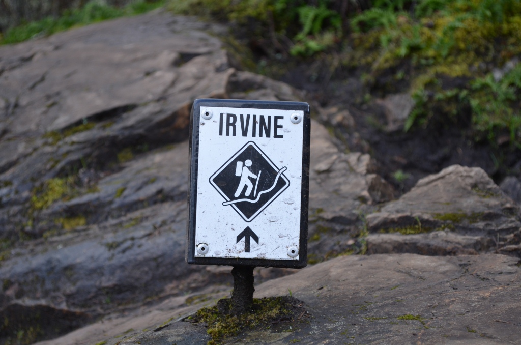
Irvine Trail marker
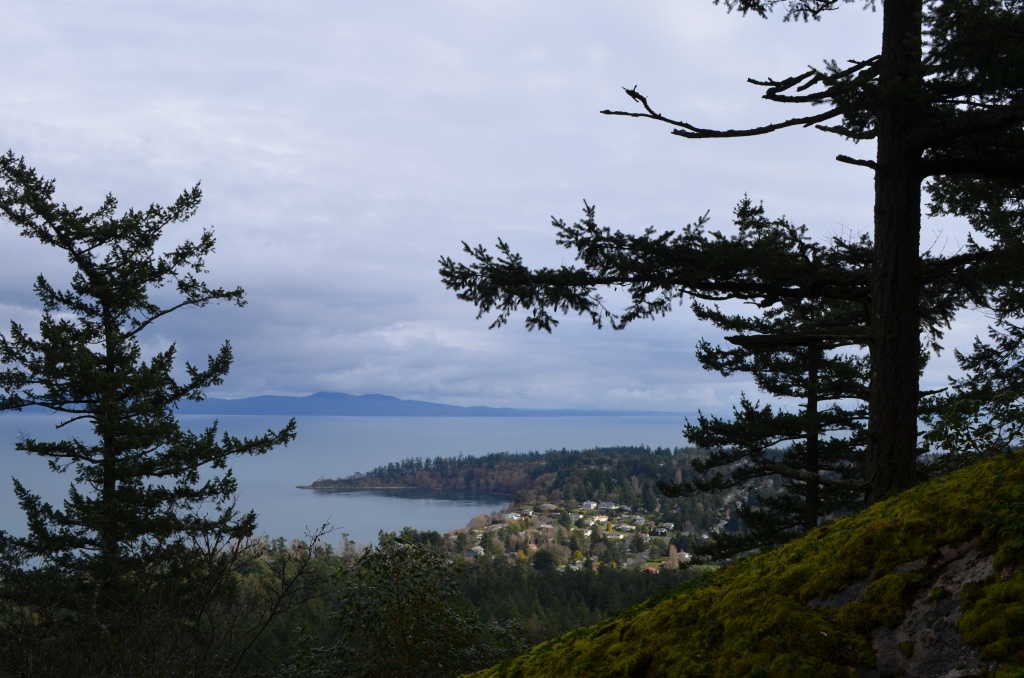
The view along Irvine Trail
The Irvine trail, like many other trails in the park – was named after a pioneer (in this case, John Irvine) who bought land in the area in 1857/58. The park itself is named after Sir James Douglas who first put the land aside as a Government reserve – and not after the abundance of Douglas Fir trees as I had erroneously, though logically, assumed.
Another interesting fact about Mount Doug, is that geographically speaking at under 1,000 ft (300m) high, it is technically only a “hill,” but apparently Douglas Hill did not have a good ring to it.
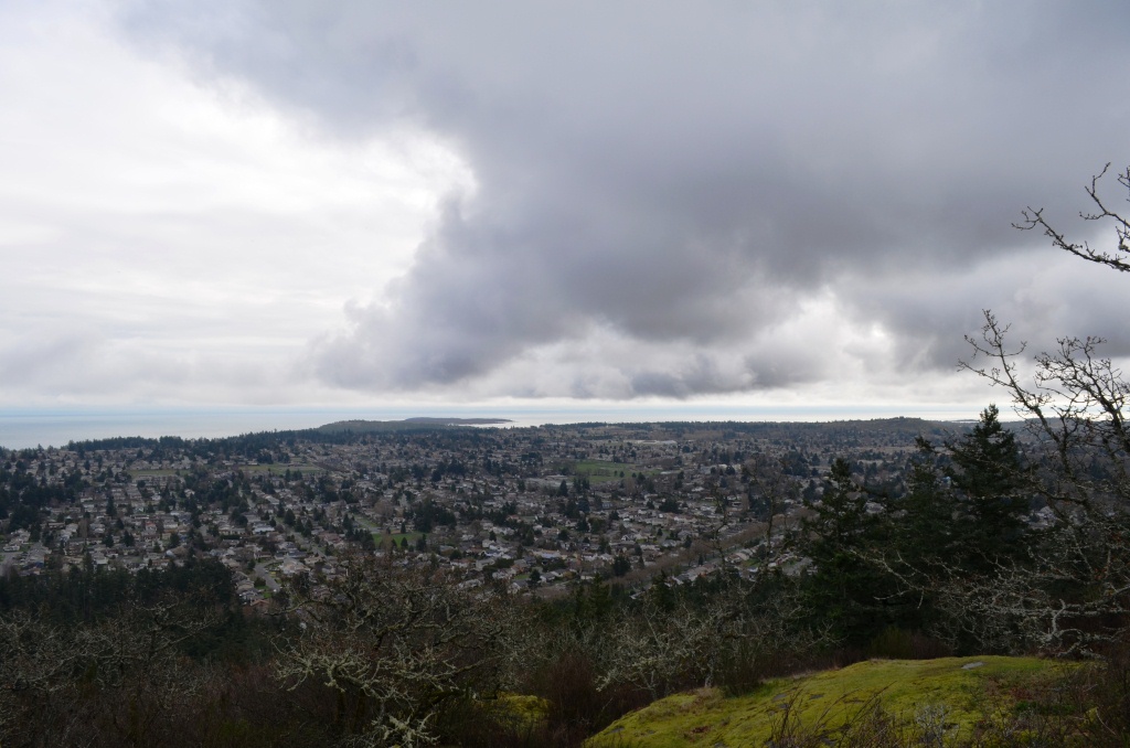
Another fine view from Mt. Doug
After trekking up Irvine Trail, I decided to try coming down Glendenning Trail …. well that didn’t work out quite as planned…. I turned onto a side trail and soon found myself heading back up the mountain. Because the trail soon narrowed and lead me up a cliff face, I had to follow… I love a good scramble. I followed a mixture of trails back through the woods to join Irvine again. I wish I had read the history of the park before I went – I would have found amusement knowing that this spiderweb of trails likely remains from the days sheep were herded on the hillside. I also would have loved to have known that somewhere on the hillside there is an old mining cave! Next time, I have a mission…. find that cave!
Links:
- Mount Douglas Park Society
- Trail Map

- Google Map
- A little history at VancouverIsland.com
- More of my photos
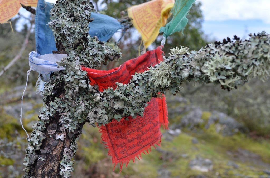
Prayer Flags
Categories: British Columbia, Hiking, Vancouver Island, Vancouver Island, Victoria
 Mt. Finlayson
  Jocelyn Hill
  Mount Work
Leave a comment